
Use the slider below to compare 1945, 1976, 1979, 1984 and circa 2025 aerial imagery of 7 Cullen Court, Spotswood. The yellow outline shows the current title boundary. Note that up until the early 1990's Cullen Court was known as Cullen Street.
Slide the handle below to visually compare the 1945 and 2025 aerial imagery of 7 Cullen Court, Spotswood.
Source: https://1945.melbourne/
Use the slider below to compare March 17th 1984 and Circa 2025 aerial imagery of 7 Cullen Court, Spotswood. The yellow outline shows the current title boundary.
Slide the handle below to visually compare the 1984 and 2025 aerial imagery of 7 Cullen Court, Spotswood.
Use the slider below to compare March 28th 1976 and October 26th 1979 aerial imagery of 7 Cullen Court, Spotswood. If you look closely you can see that Cullen Court (Cullen Street at the time) the road continued on further than in October 1979 when it was closed and then sold into private hands (the previous owners of 7 Cullen Court). 7 Cullen Court didn't eist in 1976 but it did in 1978 and you can see it in the 1979 photo. I have not highlighted the property in this comparsion to make it easier to see the road.
Slide the handle below to visually compare the 1976 and 1979 aerial imagery of 7 Cullen Court, Spotswood.
Use the slider below to compare March 28th 1976 and October 26th 1979 aerial imagery of 7 Cullen Court, Spotswood. 7 Cullen Court is Yellow highlighted. Note that in 1976 7 Cullen Street/Court did not exist it was vacant land.
Slide the handle below to visually compare the 1976 and 1979 aerial imagery of 7 Cullen Court, Spotswood.
Source: Australian Government Geoscience Australia Historical Aerial Photo (HAP) Collection
https://experience.arcgis.com/experience/9a0ecbafe94f49829712b46fc69186ff/page/Page
| Film Number | CAD4004 |
| Run | 8W |
| Frame | 131 |
| Date | March 28, 1976 |
| Scanned | Yes |
| Film Form | Vertical |
| Film Type | Black and White |
| Camera | Wild RC9 |
| Focal Length | Not Recorded |
| Photo Series | Standard Mapping Photography |
| Film Number | CAD/C2601 |
| Run | 8 |
| Frame | 0001 |
| Date | October 26, 1979 |
| Scanned | Yes |
| Film Form | Vertical |
| Film Type | Colour Infrared |
| Camera | Wild RC10 |
| Focal Length | 151.55 mm |
| Photo Series | High Altitude Photography |
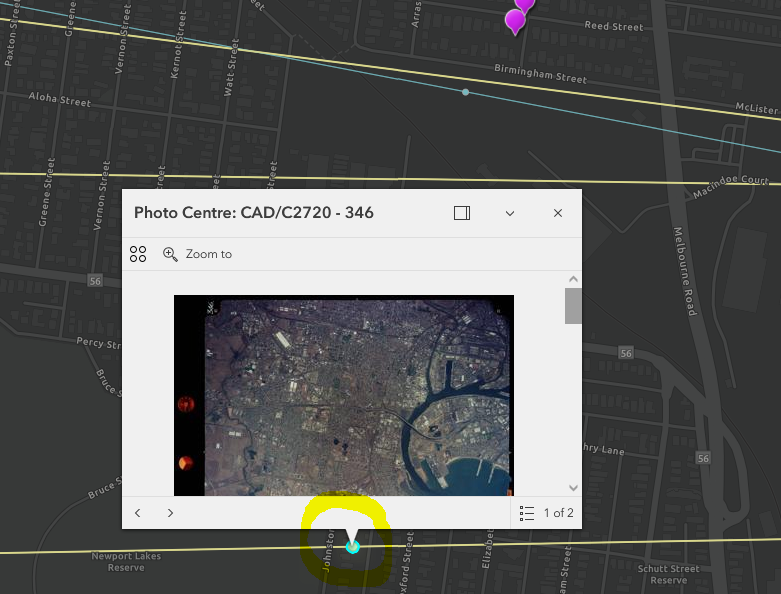
| Film Number | CAD/C2720 |
| Run | 9 |
| Frame | 346 |
| Date | March 17, 1984 |
| Scanned | Yes |
| Film Form | Vertical |
| Film Type | Colour |
| Camera | Wild RC10 |
| Focal Length | 151.55 mm |
| Photo Series | Project Photography (Non Standard) |